Profile
Wyndham, located on the western edge of Melbourne, spans 542km² with 27.4km of coastline.
Known for its cultural diversity, it is home to vibrant suburbs, a beautiful coastline, and agricultural land that supplies most of Victoria’s cauliflower, broccoli, and lettuce. The Wadawurrung and Bunurong peoples were the first people to occupy the area. Major attractions include Werribee Park, Mansion, State Rose Garden, Werribee Zoo, and Harbour Marina. The industrial hubs of Laverton North and Truganina primarily cater to manufacturing and logistics.
Wyndham is one of Victoria's fastest-growing regions, with a population expected to exceed 500,000 by 2050.
Council information
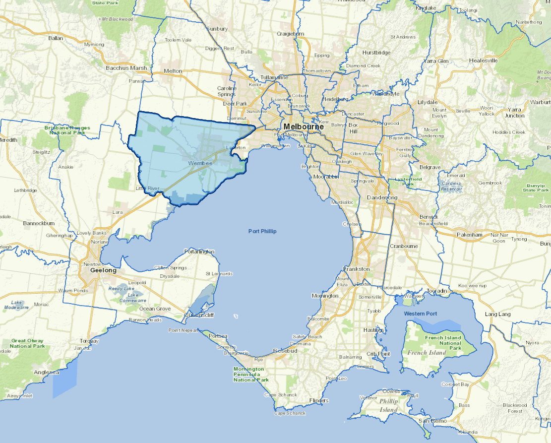
Vicmap Basemap Services @ 2023 State Government Victoria | Copyright and Disclaimer
For a detailed map showing shire boundaries and locality names, visit VICNAMES.
Localities
Cocoroc, Eynesbury, Hoppers Crossing, Laverton, Laverton North, Laverton RAAF, Little River, Mambourin, Mount Cottrell, Point Cook, Quandong, Tarneit, Truganina, Werribee, Werribee South, Williams Landing and Wyndham Vale.
Updated