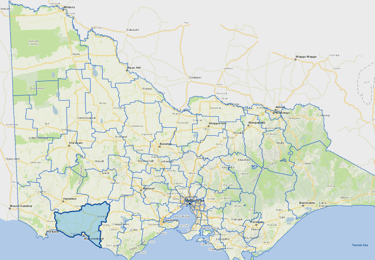
Profile
Moyne Shire is located on Victoria's south west coast, about four hours' drive from Melbourne and just to the west of Warrnambool.
The shire is predominantly rural based, with a focus on grazing, dairying and grain production. Wool and lamb production are the most significant sources of income for the shire. Some residents commute to Warrnambool to work and shop.
The main industries include agriculture, dairy product manufacturing, and tourism.
Council information
Vicmap Basemap Services @ 2023 State Government Victoria | Copyright and Disclaimer
For a detailed map showing shire boundaries and locality names, visit VICNAMES.
Localities
Allansford, Ayrford, Ballangeich, Bessiebelle, Breakwater Creek, Broadwater, Brucknell, Bushfield, Byaduk, Caramut, Chatsworth, Codrington, Condah Swamp, Crossley, Cudgee, Curdie Vale, Darlington, Dennington, Dundonnell, Ecklin South, Ellerslie, Framlingham, Framlingham East, Garvoc, Gazette, Gerrigerrup, Glenormiston North, Grassmere, Hawkesdale, Hexham, Heytesbury Lower, Illowa, Killarney, Kirkstall, Knebsworth, Kolora, Koroit, Laang, Lake Condah, Macarthur, Mailor Flat, Mepunga, Mepunga East, Mepunga West, Minhamite, Minjah, Mortlake, Nareeb, Naringal, Naringal East, Nerrin Nerrin, Nirranda, Nirranda East, Nirranda South, Noorat, Nullawarre, Nullawarre North, Orford, Panmure, Penshurst, Peterborough, Port Fairy, Pura Pura, Purdeet, Purnim, Purnim West, Ripponhurst, Rosebrook, Southern Cross, St Helens, Taroon, Tarrone, Terang, The Cove, The Sisters, Toolong, Tower Hill, Tyrendarra, Tyrendarra East, Wallacedale, Wangoom, Warrabkook, Warrnambool, Warrong, Willatook, Winslow, Woodford, Woolsthorpe, Woorndoo, Yambuk, Yangery and Yarpturk.
Updated
