Profile
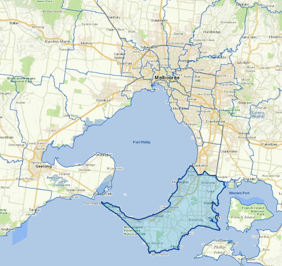
The Mornington Peninsula Shire is a boot-shaped promontory separating the Port Phillip Bay and Western Port, just over 40 kilometres southeast of Melbourne.
Characterised by unique townships, highly valued green wedge land, areas of national and international conservation significance and covering 723 Km2 of land, the Mornington Peninsula encompasses 10 per cent of Victoria’s coastlines, spanning 192 kilometres.
Reminiscent of the Mediterranean with its vineyards and olive groves, historic country house retreats and intimate hotels, the Peninsula is one of the major holiday destinations for Melbourne. It encompasses some of Victoria's most iconic national and state parks, world class wineries, wetlands and a myriad of bay walking trails.
Council information
Vicmap Basemap Services @ 2023 State Government Victoria | Copyright and Disclaimer
For a detailed map showing shire boundaries and locality names, visit VICNAMES.
Localities
Arthurs Seat, Balnarring, Balnarring Beach, Baxter, Bittern, Blairgowrie, Boneo, Cape Schanck, Crib Point, Dromana, Fingal, Flinders, Hastings, HMAS Cerberus, Kunyung, Main Ridge, McCrae, Merricks, Merricks Beach, Merricks North, Moorooduc, Mornington, Mount Eliza, Mount Martha, Pearcedale, Point Leo, Portsea, Red Hill, Red Hill South, Rosebud, Rosebud West, Rye, Safety Beach, Shoreham, Somers, Somerville, Sorrento, St Andrews Beach, Tootgarook, Tuerong and Tyabb.
Updated