Profile
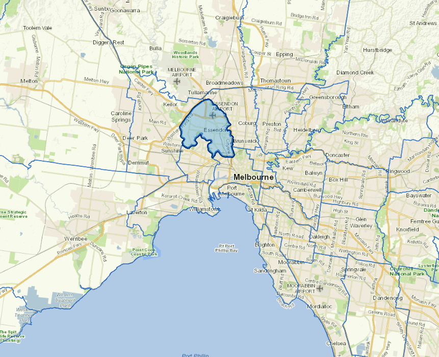
The City of Moonee Valley is located in Melbourne's north-west suburbs.
It is a diverse and established residential, commercial and industrial area with a broad range of suburbs serving a range of housing needs. Features include large retail centres at Moonee Ponds, Essendon and Airport West.
It is also home to Moonee Valley Racecourse and Essendon Airport.
Council information

Vicmap Basemap Services @ 2023 State Government Victoria | Copyright and Disclaimer
For a detailed map showing shire boundaries and locality names, visit VICNAMES.
Localities
Aberfeldie, Airport West, Ascot Vale, Avondale Heights, Essendon, Essendon North, Essendon West, Flemington, Keilor East, Moonee Ponds, Niddrie, Strathmore, Strathmore Heights and Travancore.
Updated