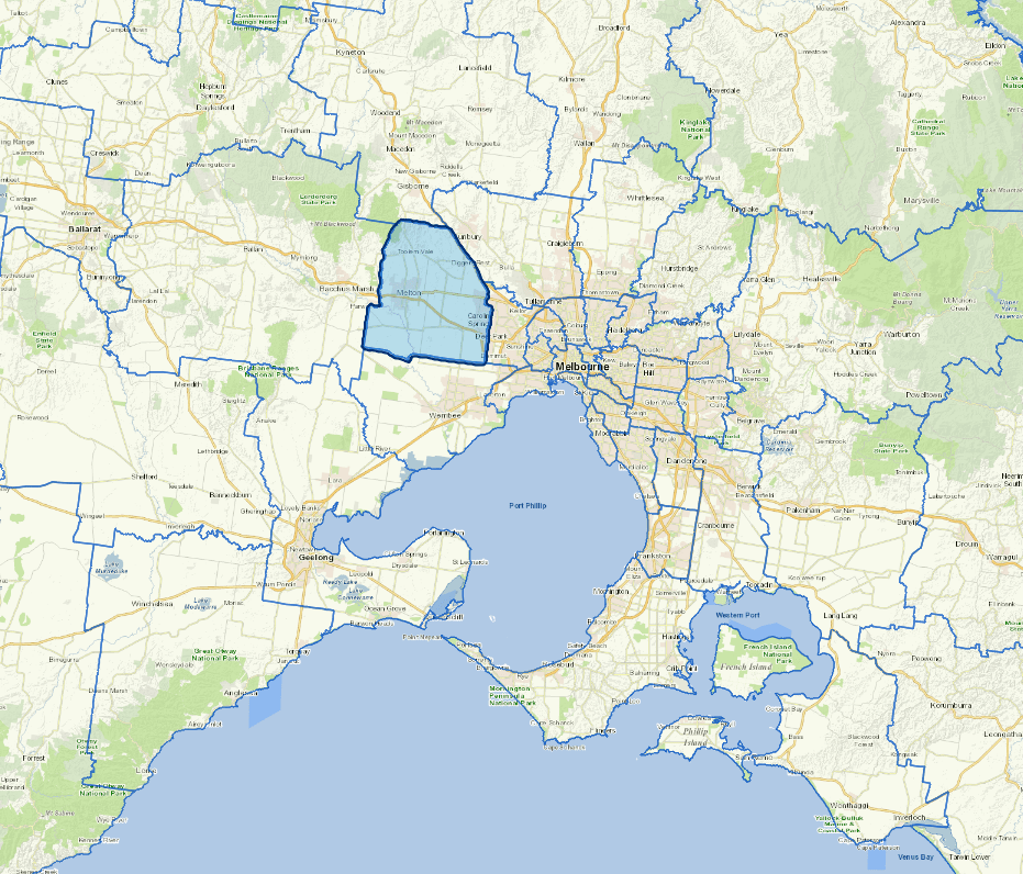
Profile
The City of Melton, one of Australia’s fastest growing areas. The area is home to people from 160 nations speaking over 170 languages.
With a median age of 33, the City is a hub for young families featuring sports precincts, vibrant retail centres, and a growing café culture.
The City has 31 suburbs and its affordable housing and proximity to Melbourne make the City of Melton an ideal place to live and work.
Attractions include the Melton Botanic Garden, expansive parklands, and historical trails.
Council information
Vicmap Basemap Services @ 2023 State Government Victoria | Copyright and Disclaimer
For a detailed map showing shire boundaries and locality names, visit VICNAMES.
Localities
Aintree, Bonnie Brook, Brookfield, Burnside, Burnside Heights, Caroline Springs, Cobblebank, Deanside, Diggers Rest, Exford, Eynesbury, Fieldstone, Fraser Rise, Grangefields, Harkness, Hillside, Kurunjang, Melton, Melton South, Melton West, Mount Cottrell, Parwan, Plumpton, Ravenhall, Rockbank, Strathtulloh, Taylors Hill, Thornhill Park, Toolern Vale, Truganina and Weir Views.
Updated