Profile
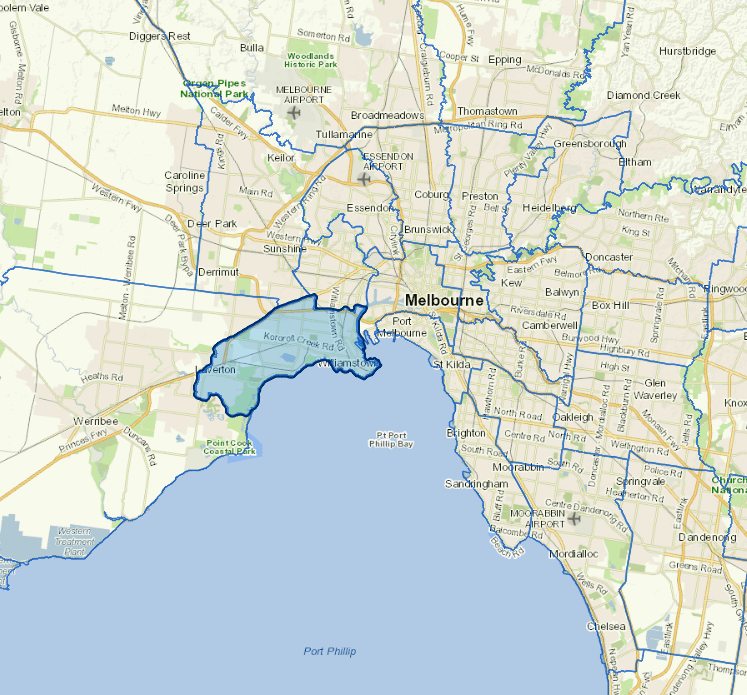
Hobsons Bay is situated at the northern end of Port Phillip Bay, about 10km west of central Melbourne and includes the suburbs of Altona, Altona Meadows, Altona North, Brooklyn, Laverton, Newport, Seabrook, Seaholme, South Kingsville, Spotswood, Williamstown and Williamstown North. Each suburb has its own unique character, from the historic seaport of Williamstown with its range of heritage buildings, to the more recently developed residential areas of Altona Meadows and Seabrook. Hobsons Bay also has a range of major industrial complexes, which contribute significantly to the economy of Victoria.
It covers an area of approximately 66 square kilometres with over 20kms of coastline. It is also home to significant coastal wetlands, five creek systems, remnant native grasslands, and important flora and fauna habitats, which makes up 24 per cent of the city’s total land area.
The city is located between seven and 20 kilometres from the CBD and has good access to regional transport facilities such as the West Gate Freeway, the Western Ring Road, CityLink, the National Rail Line, together with the ports and airports of Melbourne and Avalon.
In 2016, Hobsons Bay had an estimated resident population of 93,392 people, which is forecast to increase to 113,309 by 2036. Thirty one per cent of our residents are born overseas, speaking over 100 different languages and practising over 90 faiths.
These features contribute to the City's culture, which is strongly linked to its maritime heritage, rich natural environment, industry and lifestyle.
Council information

Vicmap Basemap Services @ 2023 State Government Victoria | Copyright and Disclaimer
For a detailed map showing shire boundaries and locality names, visit VICNAMES.
Localities
Altona, Altona Meadows, Altona North, Brooklyn, Laverton, Newport, Seabrook, Seaholme, South Kingsville, Spotswood, Williamstown and Williamstown North.
Updated