Profile
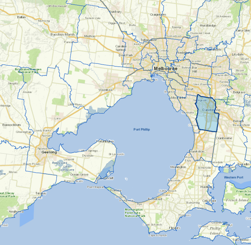
Located only 35km south east of Melbourne’s CBD the City of Greater Dandenong is Australia’s most culturally diverse locality. It covers 129 square kilometres and has a population of 167,000 people. 69 per cent of residents speak a language other than English and residents come from more than 150 different birthplaces.
113,000 people work within the City of Greater Dandenong and with more than 19,000 businesses the city is a thriving economic hub in one of the fastest growing regions in Melbourne. Key industries include manufacturing, construction, health care and social assistance, retail trade, and transport, postal and warehousing.
Further information
Vicmap Basemap Services @ 2023 State Government Victoria | Copyright and Disclaimer
For a detailed map showing shire boundaries and locality names, visit VICNAMES.
Localities
Bangholme, Dandenong, Dandenong North, Dandenong South, Keysborough, Lyndhurst, Noble Park, Noble Park North, Springvale and Springvale South.
Updated