Profile
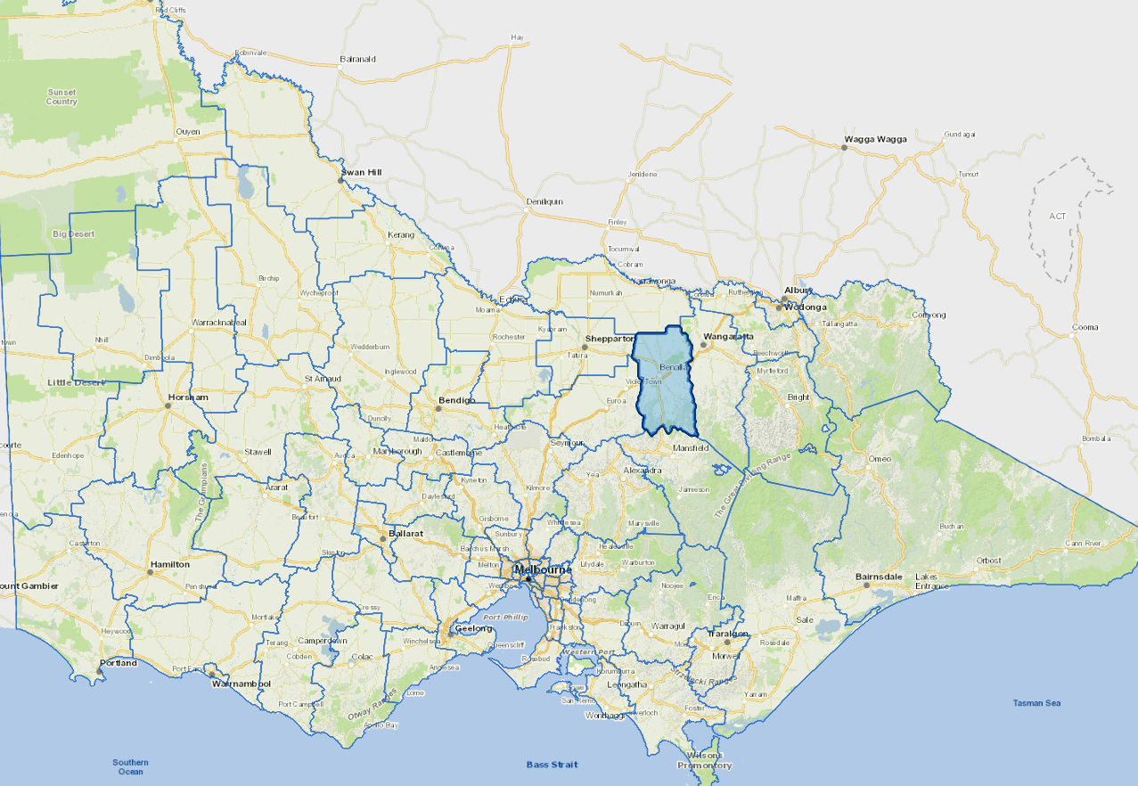
Benalla Rural City is 193km north-east of Melbourne. The current population of Benalla Rural City is 14,024, with approximately 9,000 living in the Benalla urban area and the remainder living in and around our smaller towns. Benalla Rural City is divided by the Hume Freeway with hills, valleys, grazing land and forests to the south and plains and rolling hills used as cropping and grazing land to the north. Our largest employing industries are health, manufacturing and agriculture.
The main health sector employers include Benalla Health, Royal Freemasons Benalla Care Home, Estia Health and Cooinda Aged Care. The manufacturing sector includes Thales Australia, D & R Henderson Pty Ltd, Schneider Electric (Australia) Pty Ltd and LS Precast. Our rural areas are recognised for their good soils and access to irrigation. The major agricultural industries include prime lamb and beef production, dairying and broad acre cropping.
Benalla Rural City offers a choice of primary and secondary schools, a TAFE college, comprehensive health services and participation opportunities including sport, music, wine and art. Benalla Rural City has well developed disability, aged and childcare services. Some of the main visitor attractions include Winton Motor Raceway, Benalla Art Gallery, Winton Wetlands and the Silo Art Trail.
Council information
Vicmap Basemap Services @ 2023 State Government Victoria | Copyright and Disclaimer
For a detailed map showing shire boundaries and locality names, visit VICNAMES.
Localities
The communities south of the Freeway are Archerton, Baddaginnie, Boho South, Glenrowan West, Lima, Lima South, Lurg, Molyullah, Moorngag, Samaria, Swanpool, Tatong, Upper Lurg, Upper Ryan’s Creek, Warrenbayne and Winton. Communities to the north are Boweya, Boxwood, Broken Creek, Bungeet, Chesney Vale, Devenish, Goomalibee, Goorambat, Stewarton, Taminick, Tarnook and Thoona.
Updated
