Profile
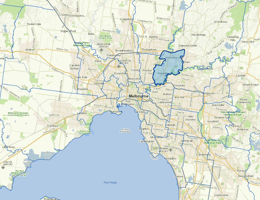
Banyule is located 7-21 km north-east of central Melbourne and spans 21 suburbs over 63 km². The Birrarung (Yarra) River borders the south, and Darebin Creek defines the west. Banyule has more than 50 Indigenous archaeological sites, which Council is committed to protecting.
Renowned for its open spaces and parklands, especially along the Birrarung and Plenty River valleys, Banyule offers relaxed living and quality educational, health and recreational facilities. Key industries include health care, education, retail and construction, with a major medical precinct in Heidelberg.
Banyule hosted the 1956 Olympic Village and features the Heidelberg School of Australian Impressionism.
Council information
Localities
Bellfield, Briar Hill, Bundoora, Eaglemont, Eltham, Eltham North, Greensborough, Heidelberg, Heidelberg Heights, Heidelberg West, Ivanhoe, Ivanhoe East, Lower Plenty, Macleod, Montmorency, Rosanna, Saint Helena, Viewbank, Watsonia, Watsonia North and Yallambie.
Vicmap Basemap Services @ 2023 State Government Victoria | Copyright and Disclaimer
For a detailed map showing shire boundaries and locality names, visit VICNAMES.
Updated